Geotechnical & Environmental
Geophysical surveys for
Faults and Sinkholes | Bedrock Depth | Soil Stratigraphy | Water table delineation | Bathymetry.
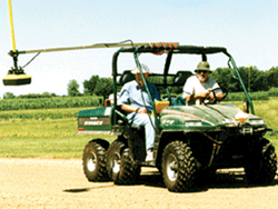
Engineered development and assessment of groundwater conditions demand solid definition of subsurface conditions. GPR’s ability to define geologic strata and detect anomalous geologic structure makes it a regular tool in the engineering geophysicist’s arsenal of methods. In addition, GPR is one the few methods that is directly sensitive to the water content and chemistry. Applications range from route selection for roads, railway and pipelines to karst evaluation.
Geotechnical Engineering
Hydrogeology
Geotechnical Engineering
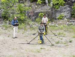
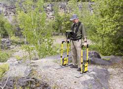
GPR’s ability to provide high resolution subsurface geological structure leads to widespread geotechnical uses of GPR. Applications are wide ranging such as determination of bedrock depth, definition of soil stratigraphy, identification of karstic features, and location of buried groundwater channels.
-
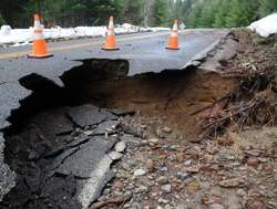
Sinkholes/Karst
-
Stratigraphy, Soil Structure
-
Drainage Tiles
-
Mine Shaft Detection
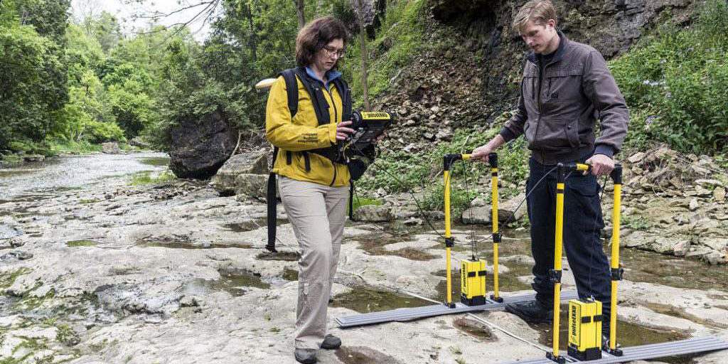
Hydrogeology
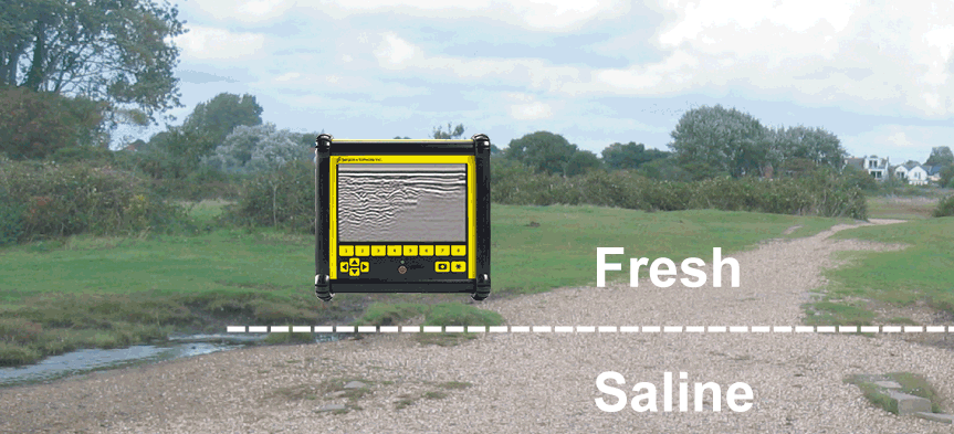
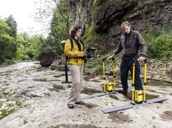
GPR’s sensitivity to soil water content and geologic structure make it a natural method for hydrogeology investigations. From delineating water table, to stream and river bed structure, to borehole monitoring of contaminant flow, the spectrum of GPR uses is broad and varied.
-
Water Table
-
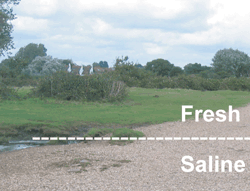
Saltwater Infiltration
-
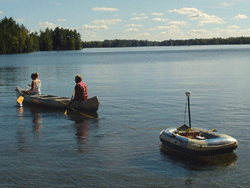
Bathymetry & Sub-Bottom Profiling
-
Moisture Content in Soil