Environmental Geophysics
Environmental geophysics studies the physics of the Earth in relation to environmental problems. Environmental geophysics uses geophysical methods to image and understand the properties and processes within the top 100 meters of the Earth. This is the zone of the Earth that directly impacts our lives, and on which we also have a direct impact. However, we have limited information about this near-surface region. Environmental geophysics includes laboratory studies, theoretical modeling, and field operations. It utilizes these three different approaches to investigate the connections between measurable geophysical parameters and their physical, chemical, and biological properties and processes.
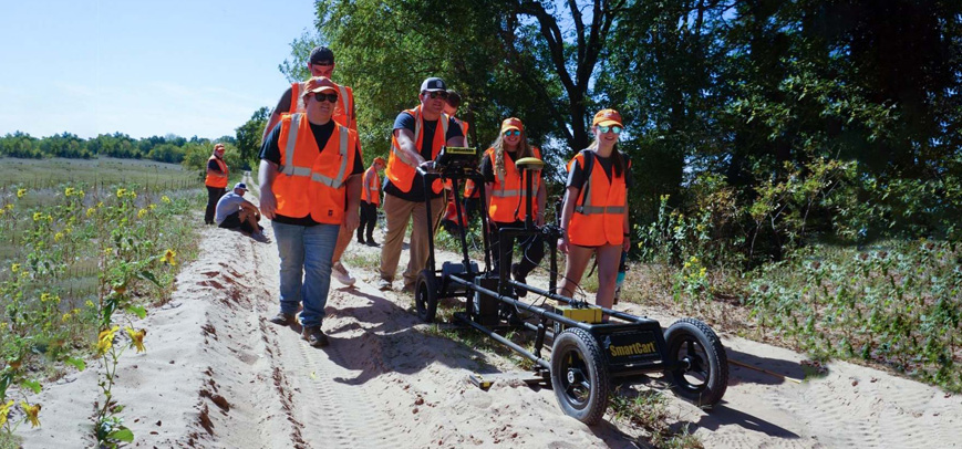
Geophysical methods are powerful tools for subsurface exploration in environmental investigations. Possible application areas include hydrological and hydrogeological identification and monitoring, slope stability assessment, soil identification, pollution assessment, and more. Geophysical methods such as GPR, geoelectric, and electromagnetics are most widely used in environmental geophysics. The available techniques are characterized by varying penetration and resolution capabilities, ranging from a few centimeters to several hundred meters.